River tram from Novospassky Bridge (metro Proletarskaya)
(boat) along the Moscow River. It is customary to start from the Kievsky Station pier and end at the Ustinsky Bridge in order to continue exploring the city on Red Square. However, many prefer to continue the river walk to the Novospassky Most pier. From there you can walk to the Proletarskaya metro station. Getting lost is tricky. You need to follow people who are confidently walking towards the metro.
It happens that it is more convenient to start your walk from the Novospassky Most pier and end it at Kievskaya. A Yandex map will not always help. This service draws a direct path from the metro to the pier. But it's not that simple. Along the way, you need to cross busy highways several times, and it’s a good idea to know where it’s best to do this.
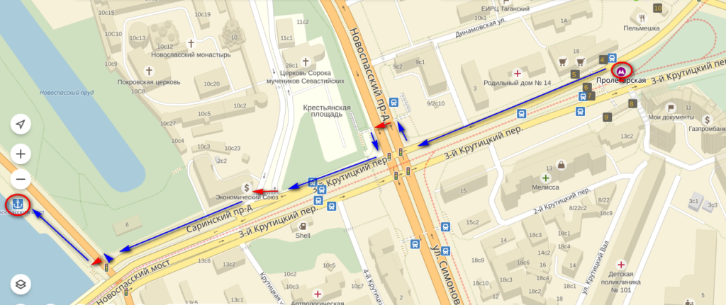
The route from the metro to the pier is shown on the map with blue arrows. I marked the pedestrian crossings with red arrows.

There are three of them - underground, ground unregulated, ground regulated by traffic lights.
For those who don’t know their way around a map, I’ll show you the route on the ground with photographs.
How to get to the Novospassky Most pier from Proletarskaya metro station
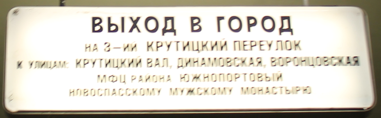
There are two exits at the Proletarskaya metro station. You need access to the 3rd Krutitsky Lane, to the streets of Krutitsky Val, Dinamovskaya, Vorontsovskaya, MFC of the Yuzhnoportovy district, Novospassky Monastery.
Proletarskaya station is shallow, there is no escalator, you have to go up the stairs.
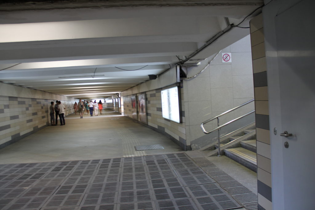
Exit the glass doors of the station
and you find yourself in an underground passage. You don't have to go far, the necessary exit to the city is the first one to the right.
You go up the stairs and on the right you will see a modern shopping center.
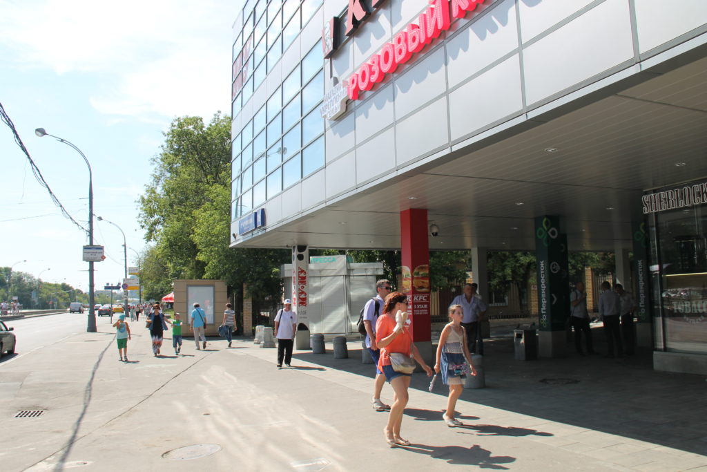
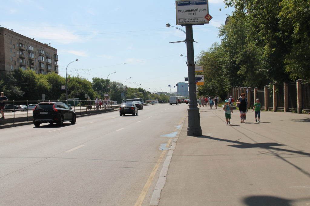
Go straight ahead to a large area.
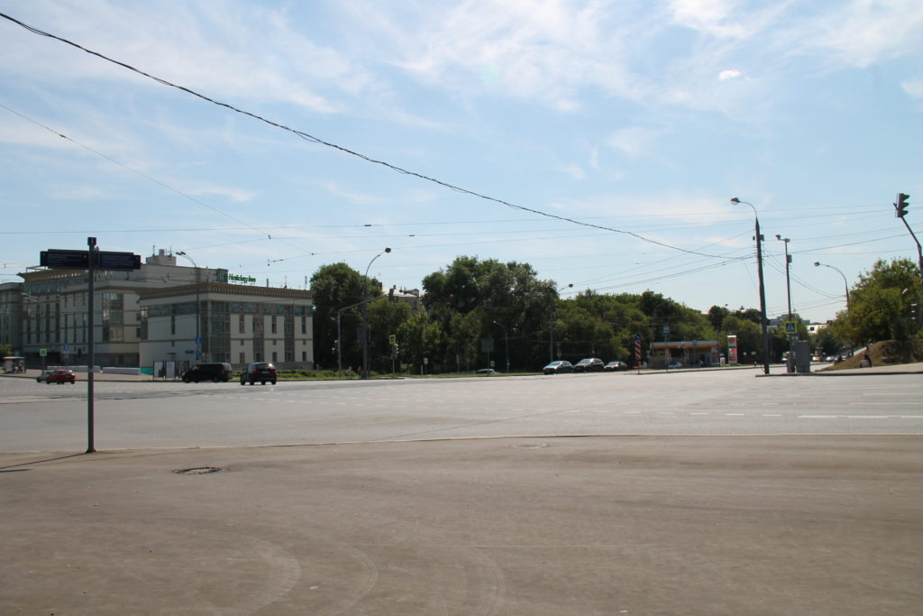
Here you need to cross the road (Novospassky passage). There is an underground passage, it is located at a distance. As soon as you reach the square, turn right. Then you will see the descent into the underground passage. From this point the yellow bell tower of the Novospassky Monastery will be clearly visible. The picture shows both it and the entrance to the underground passage.

Once again I show the underground passage.
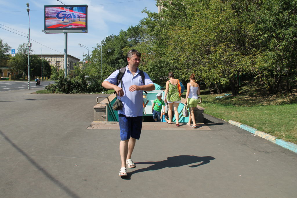
You need to exit the crossing to the left. Walk straight ahead for a short distance and turn right. The Novospassky Monastery should always be on your right.
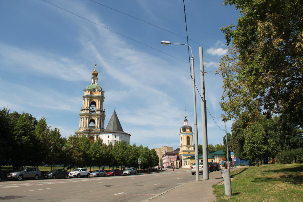
On your way you will come across another fairly calm street. Cross it at a pedestrian crossing without a traffic light.
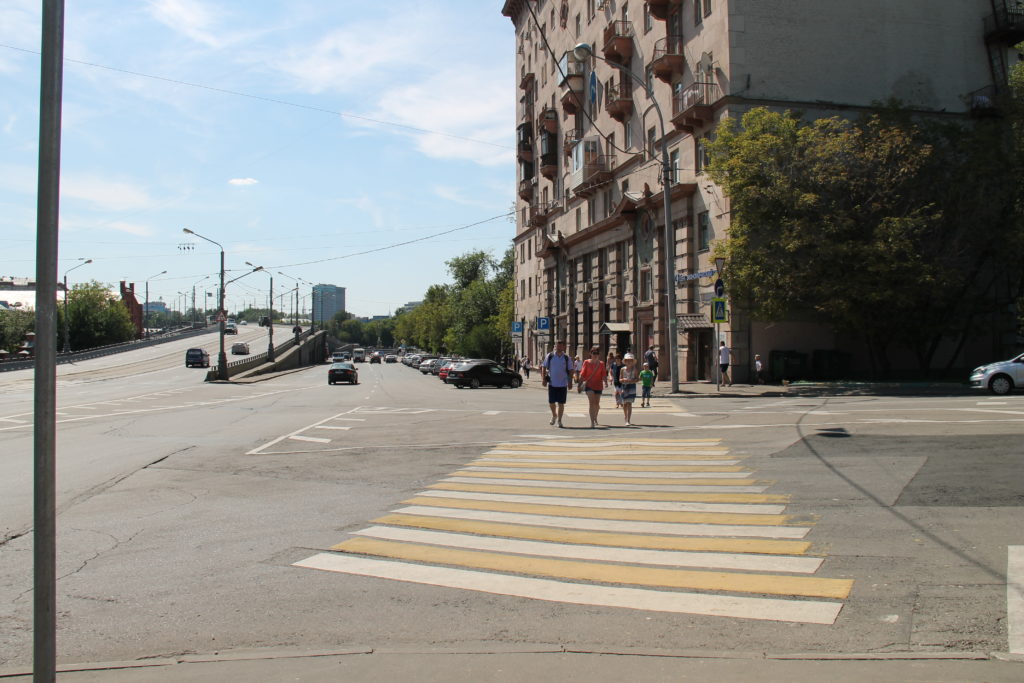
Feel free to cross the road; drivers must let you pass. After the crossing you will find yourself on Sarinsky Proezd.
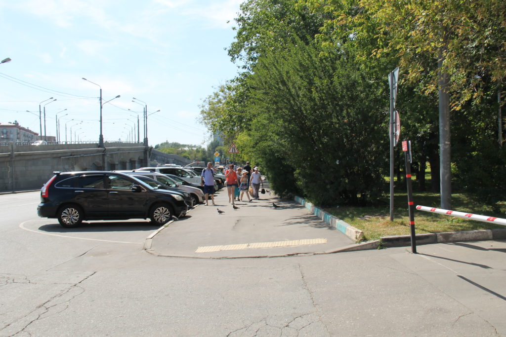
In the distance on the left you will see the supports of the Novospassky Bridge. To your right is a residential building. Continue straight along the house.
The direct path will take you to the Moskva River embankment. Here the last obstacle awaits you - another busy highway. But there is a traffic light here. Did you see him in the photo?
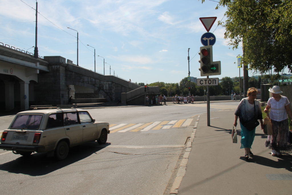
Now we will wait for the green traffic light, cross the road and immediately turn right. We're almost there!
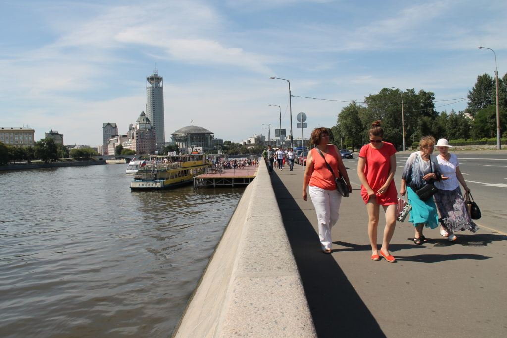
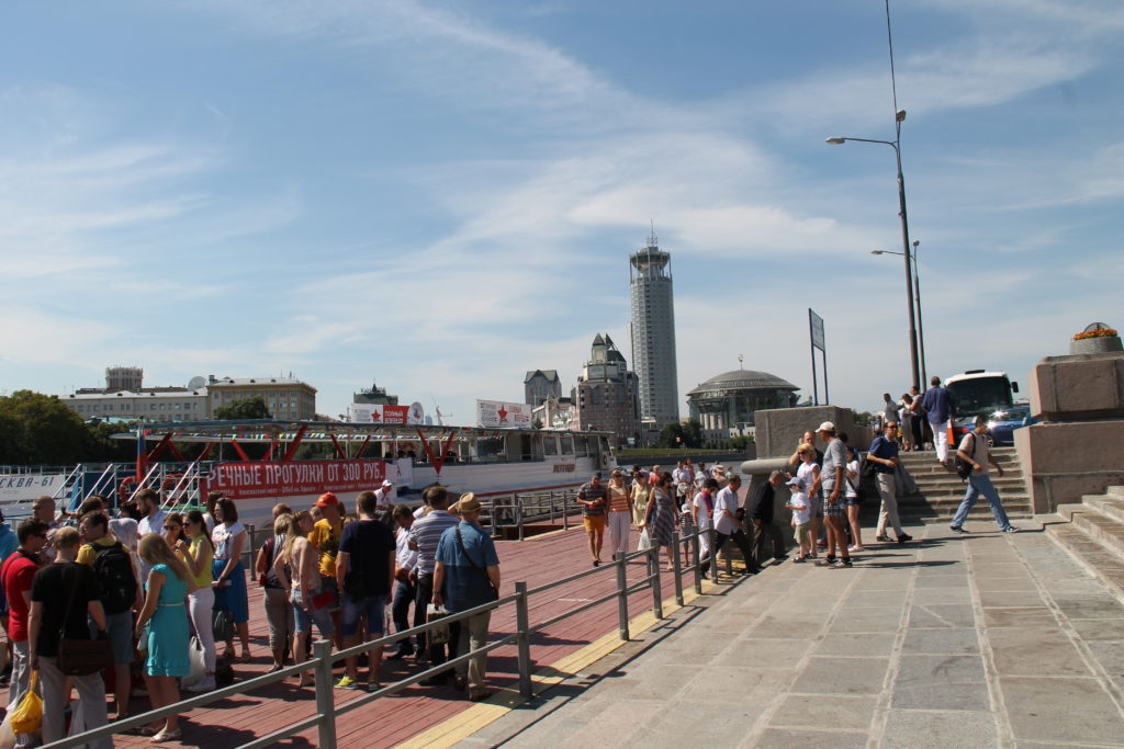
The pier is visible in the distance. In the middle of a weekend, there are more than enough people who want to ride a river tram (boat) from the Novospassky Most pier.
I duplicate the path diagram on a large scale.
Let me remind you that there is no permanent schedule for water buses in 2016. The first flight leaves around 11.30. On weekdays, the intervals between boats in the first half of the day are 40 minutes. After 13.30 they follow every 20-25 minutes. On weekends, trams depart every 20 minutes. There are linear routes (route No. 1), they go to the Kyiv Station pier with five stops. Circular routes (route No. 2) run without stops, but they do not depart from Novospassky Bridge. They only run to the Ustinsky Most pier.